Capabilities
Plan your hikes at home on a big screen, then navigate them out on the trail.
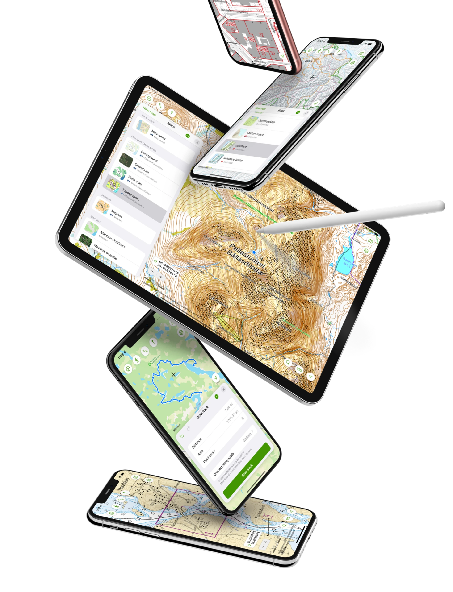
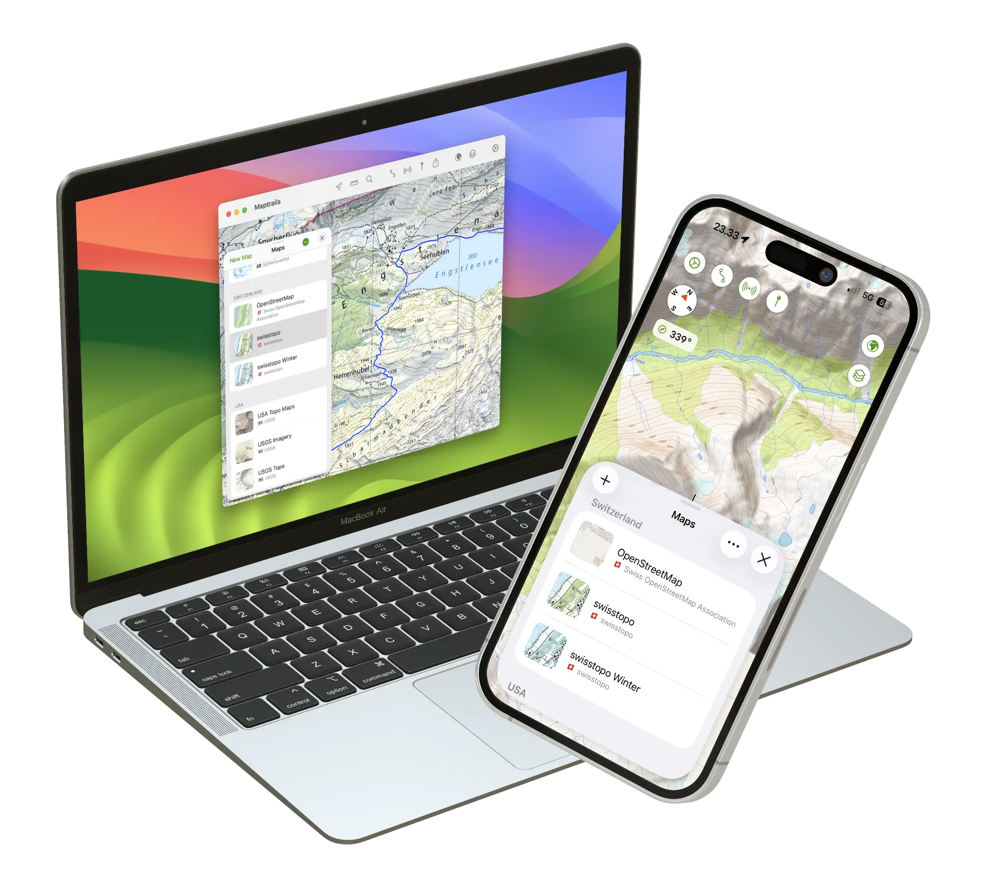
Maptrails is available for iPhone, iPad, Mac and Apple Watch. It keeps your data synced over iCloud and lets you view your maps and markers anywhere. Plan upcoming hikes on a bigger screen using Mac or iPad, save them as GPX tracks and then navigate them on your iPhone and Apple Watch.
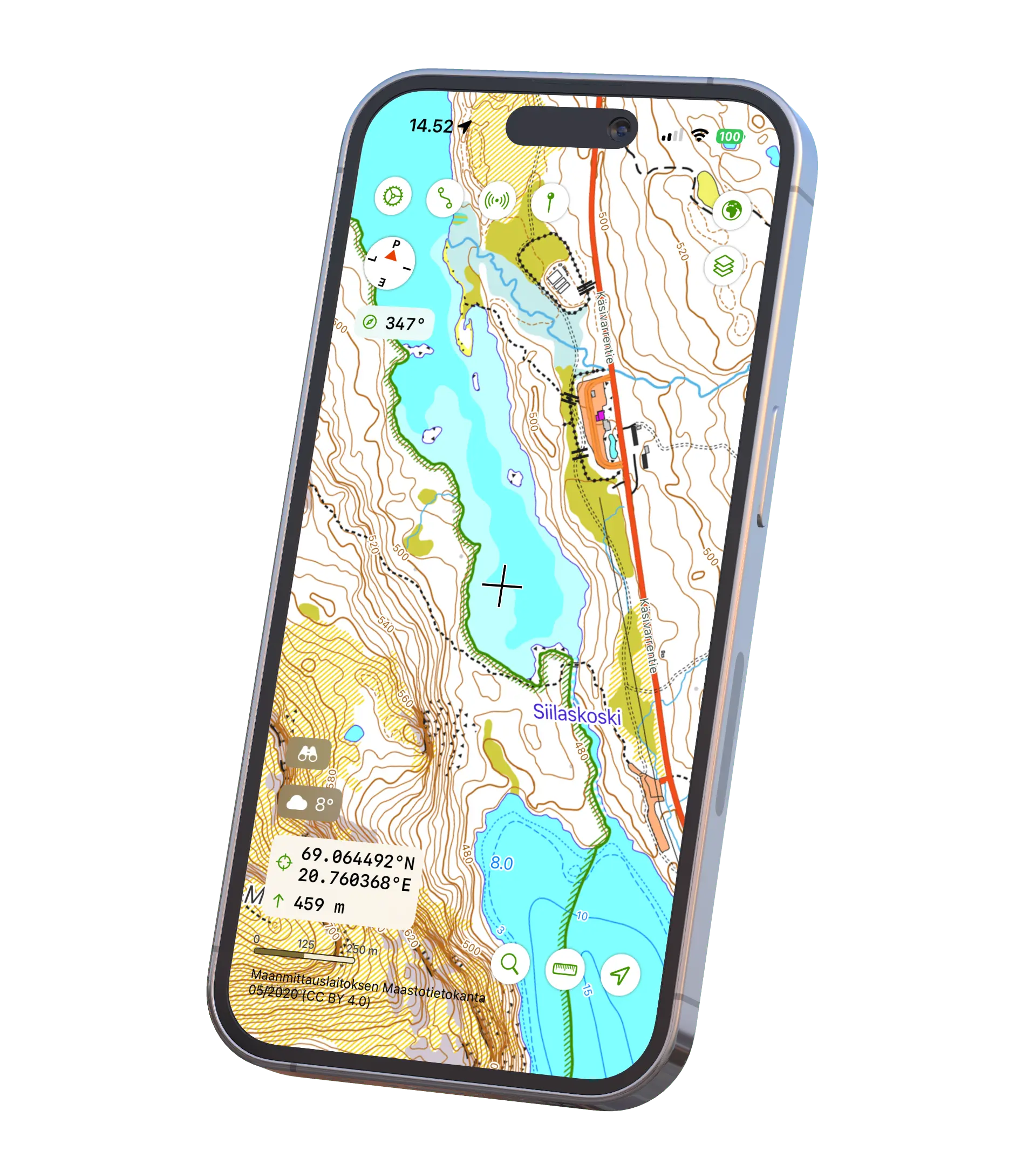
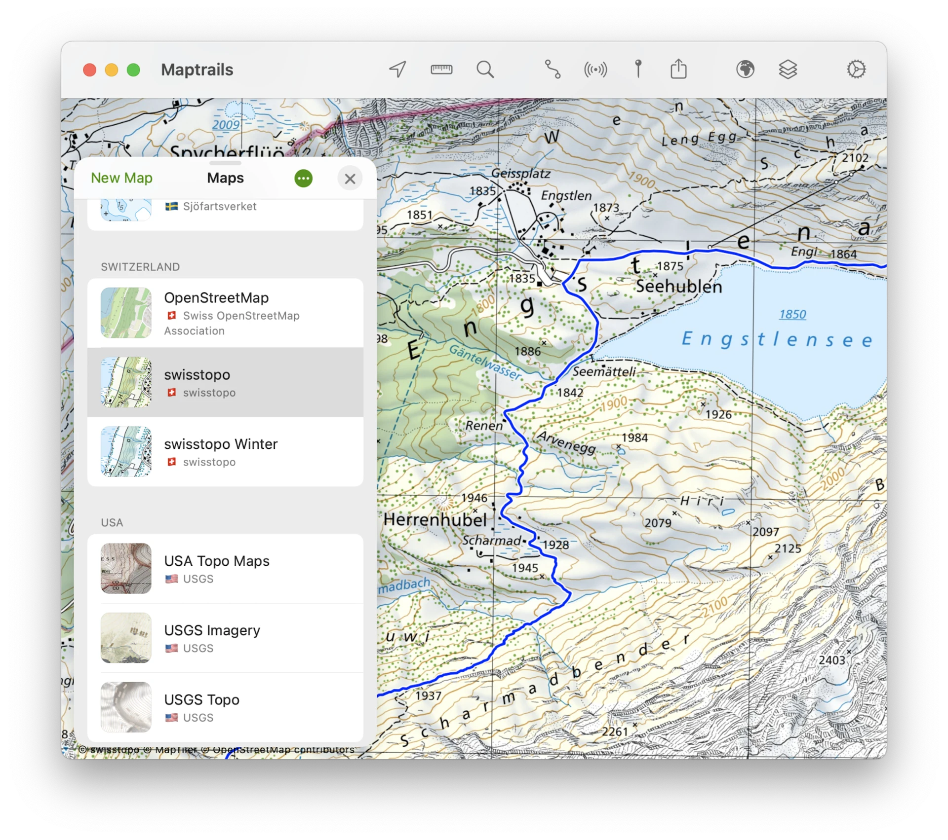
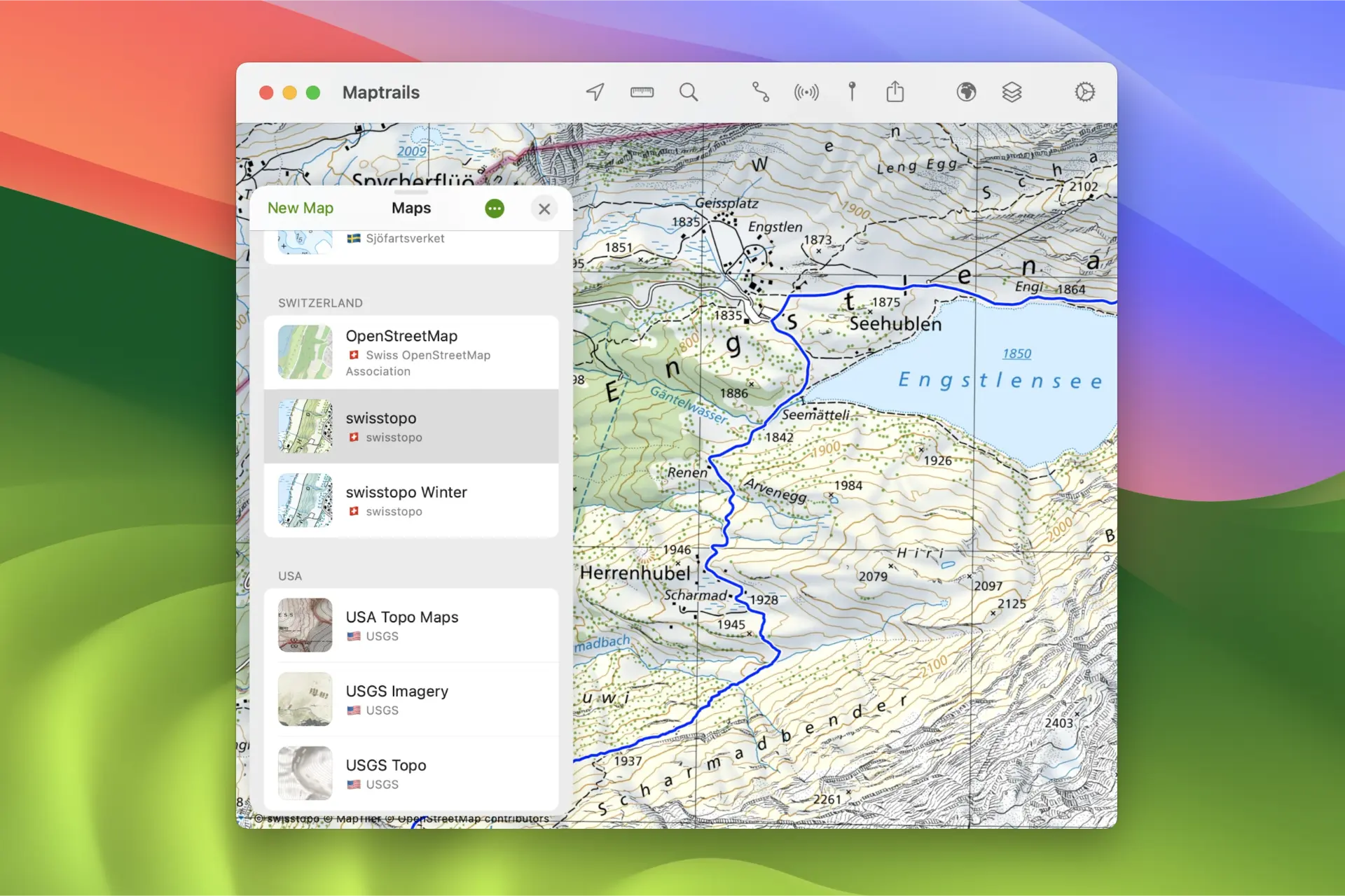
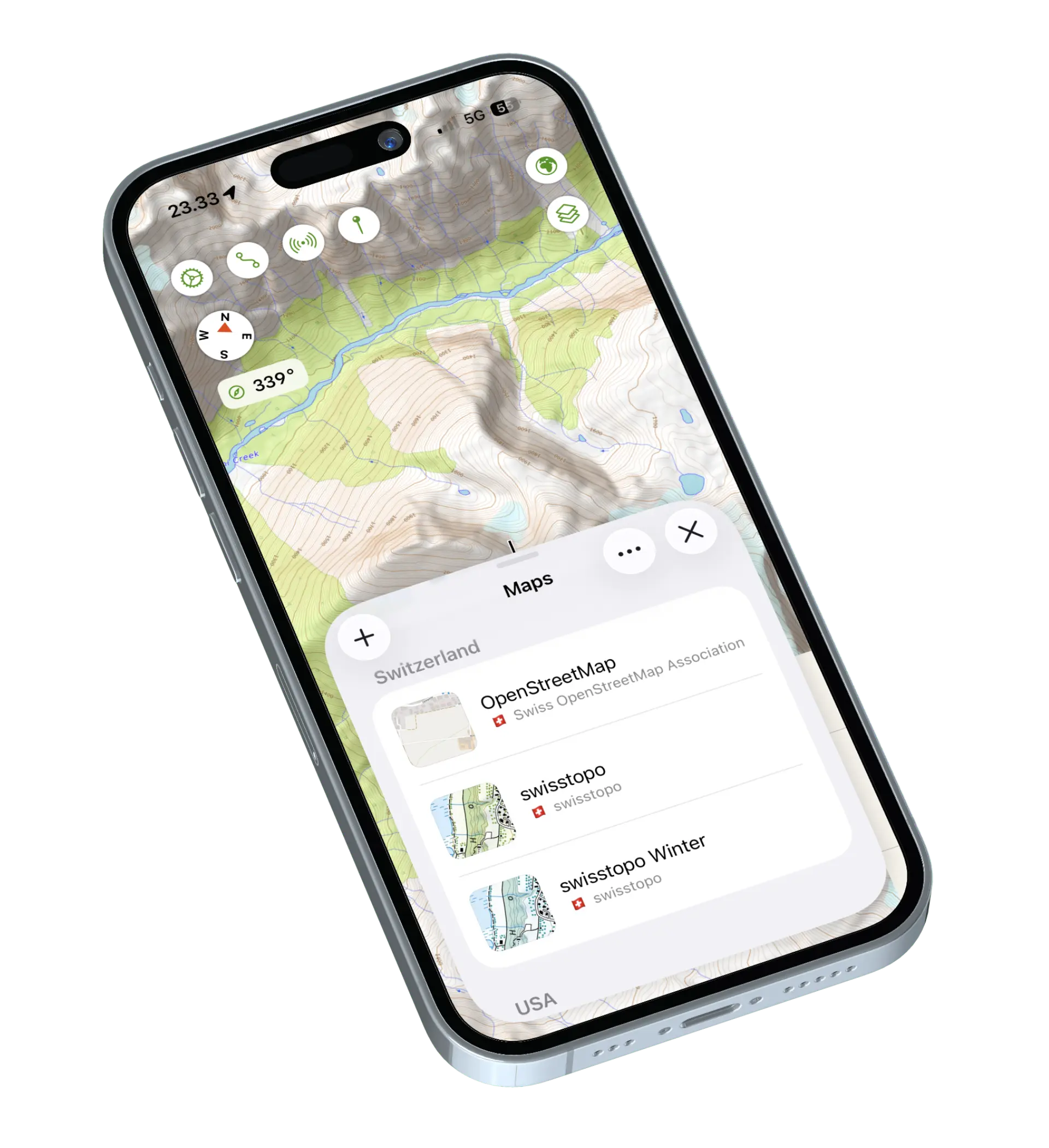
A large collection of maps from open data sources is included for free — USGS Topo, Swisstopo, Kartverket, Lantmäteriet, the Finnish National Land Survey and many more. Maptrails doesn't require in-app purchases or subscriptions to access any of the maps that use data from open APIs.
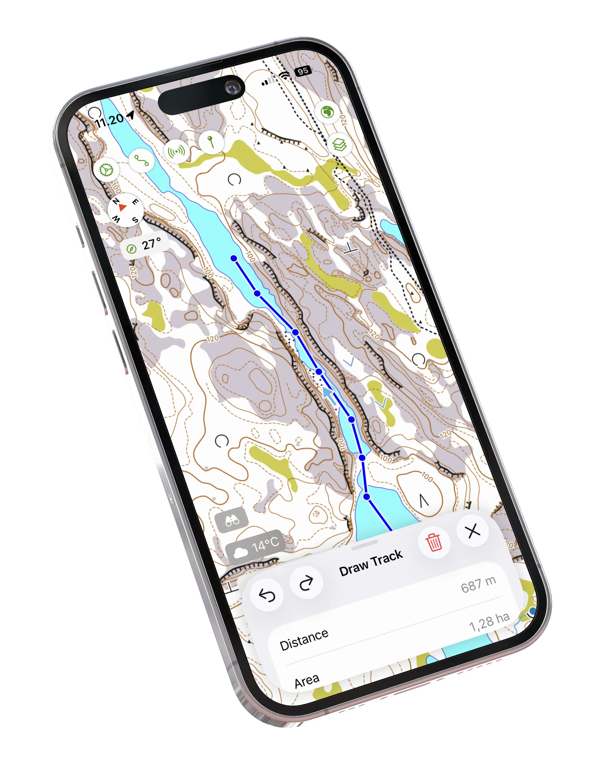
Draw a route point by point straight on the topographic map and watch the distance update as you go. Undo and redo let you refine the line until it follows the terrain you want, and the finished route is saved as a GPX track you can navigate on any of your devices.
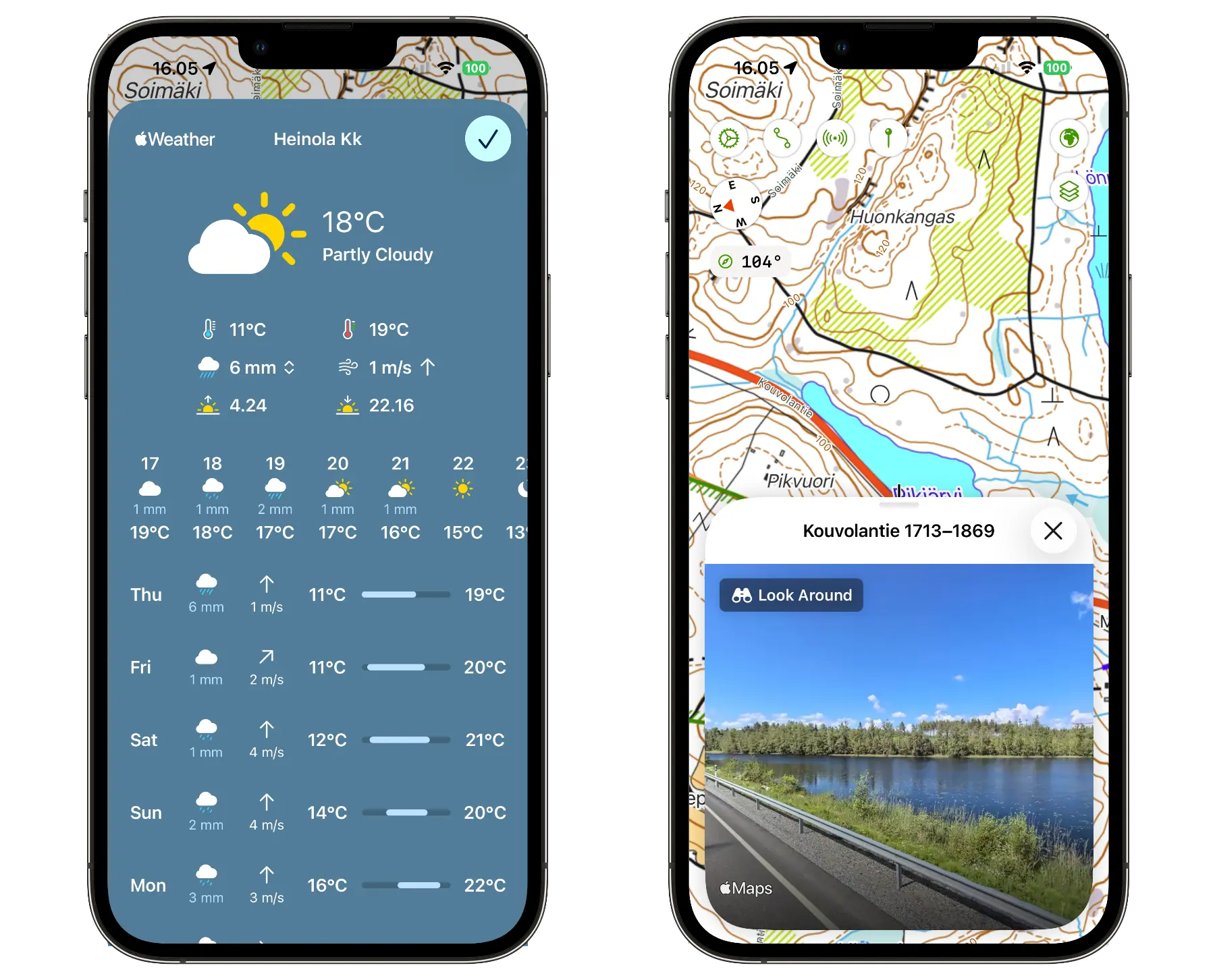
Check the forecast at any map location, complete with wind direction and speed, powered by Apple Weather. Fetch Look Around street-level imagery, with coverage over large parts of the globe, to preview trailheads before you head out.
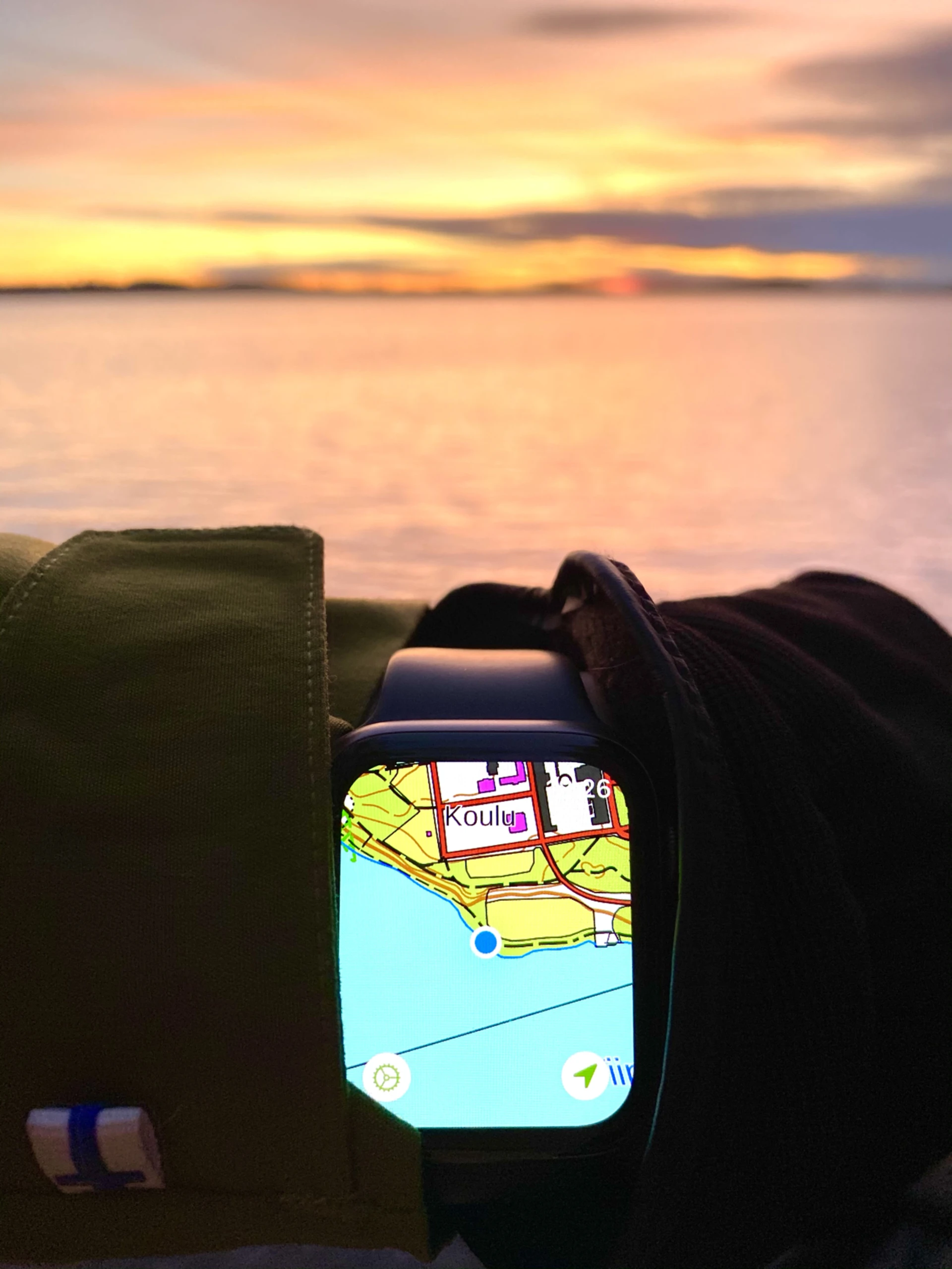
On the Watch, Maptrails is a simplified version of the main app that you can operate with a few taps. Scroll freely, zoom with the crown and rotate the map to match your heading. GPX tracks sync from your iPhone so they are available offline out on the trail.
Everything you need
Maptrails Pro
The free app goes a long way. A single one-time purchase unlocks the full app on all your devices.
In-App Purchase
Maptrails Pro
One purchase — iPhone, iPad, Mac and Apple Watch
Articles
Guides, tips and stories about maps and hiking with Maptrails.
Two apps that share a love of open map data, taken in different directions — OsmAnd's deep configurability versus a native Apple experience built on official topographic maps.
Route planning or map reading? Komoot and Maptrails approach the outdoors from opposite ends — and official topographic maps change the picture when you leave the marked trail.
What could an AllTrails user be missing? Official topographic maps, GPX files you keep ownership of, and a one-time price — where each app shines and which fits the way you hike.
FAQ
Maptrails is a free download on the App Store, and all of the bundled open maps are free to use. No in-app purchases or subscriptions are needed to access any of the maps that use data from open APIs.
The Maptrails Pro in-app purchase unlocks the full functionality of the app, such as GPS track recording, offline map downloads and custom maps. It's a single one-time purchase that covers all your devices — no subscription.
Maptrails comes preconfigured with topographic maps from open data sources such as USGS Topo, Topographic Data of Canada, Land Information New Zealand, Switzerland's Swisstopo, the Spanish Instituto Geográfico Nacional, the Finnish National Land Survey, Norwegian Kartverket, Swedish Lantmäteriet and Danish Dataforsyningen.
Missing an open map you rely on? Contact us and we'll add it in.
Yes — Maptrails works with most tile based maps. With Maptrails Pro you can configure additional Tile Map, WMTS and WMS maps from any API, and add new map layers from GeoJSON and Shapefile content.
The app was designed to work with the data you already have and never to lock it in. It uses open, standard formats such as GPX, GeoJSON and Shapefile, so your maps, tracks and layers always stay yours to take elsewhere.
Maptrails is available for iPhone, iPad, Mac and Apple Watch, built as a native and familiar experience on each platform. It supports many iOS features, such as home screen widgets and Siri shortcuts.
Your maps, tracks and markers sync automatically over iCloud — no accounts or sign-ups needed. Plan a hike on your Mac or iPad, then navigate it on your iPhone or Apple Watch. GPX tracks can also be synced to the Watch for offline use.
The app has no ads and no external analytics. Maptrails only measures aggregate app usage figures with Apple's App Analytics, built right into the platform. Your data stays private.